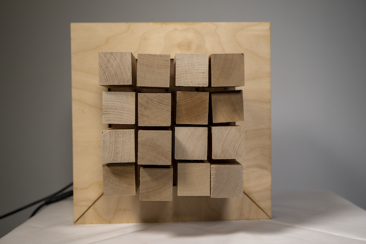
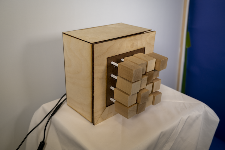
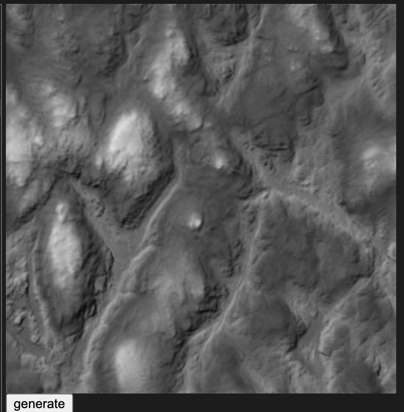
Pixel Topographies uses machine learning to generate elevation maps based on Connecticut topography, then creates a tangible 3D representation of that data.
Philip Cadoux


Description
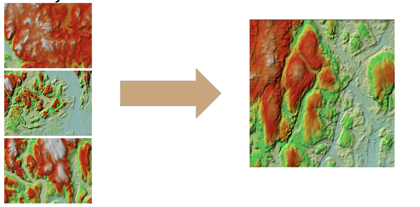
My family sold the house I grew up in this year, which was very sudden, but for the best. I had never really been that connected to my home state, but when I discovered I may never go back there, I realized that I had come to really appreciate it as a place to grow up. We ended up renting a house not too far from where I grew up to get through the pandemic, but it made me think about what it was that caused me to become so nostalgic. What kept popping into my head was that it is a beautiful place. It has lovely forests, beautiful colors, coastal towns, and even a few mountains. Then, I stumbled across a site which shows the elevation in CT using colors.
This inspired me, I created an ElevationGAN and used Runway's hostel model feature to grab the images generated. I then used p5.js to process down the images into a pixel grid. From there, I used serial communication to send the elevation data to an Arduino, which actuated pixels in and out to reflect these values. This is a proof of concept piece that could be scaled up to create 1:1 representations of elevation maps – ultimately creating wooden topographies. I have plans to elaborate on this ML model and try new things.